
Search Inkster Street Directory by Address
An address-first search starts with the parcel, not a broad list of names. Inkster Assessing and BSA Online provide the municipal starting point. The Wayne County Parcel Viewer then helps match the physical lot to its nearby parcels. A recorded instrument can supply a dated transfer trail. Michigan voter resources are person-centered, so they are not a public tool for browsing everyone along a street. Historical reverse directories are also dated sources, not current confirmation. Treat each result as a record of what its custodian reported at a particular time.
- Enter the complete street address in the Inkster assessing route and preserve the parcel number and legal description exactly as displayed.
- Open the same area in the Wayne County parcel viewer. Confirm the street geometry and select the subject parcel before moving to nearby parcels.
- Use the owner name as a grantor or grantee search key at the Register of Deeds. Note the document date, instrument type, and recording identifier.
- For an older address, check the street section of the documented Polk or Bresser volumes and retain the volume year and page reference.
- If a permit or code file is needed, request that one address and a narrow date range from the City of Inkster rather than asking for a broad resident list.
That sequence keeps the address search focused on address-keyed evidence. It also prevents a mailing destination or one same-name result from being treated as proof that someone is at the parcel now.
Inkster Address Search Fields
City of Inkster Assessing identifies the assessor as the keeper of property descriptions, maps, legal descriptions, lot sizes, ownership, tax estimates, splits and combinations, and exemptions. Its linked BSA service is the first stop for a current address because the visible service choices include assessing, building, detailed, tax, and utility records. The research inspection could confirm address, name, and parcel-number search modes, but the live result card was dynamic. Do not assume a field appears until the current card displays it.
Inkster Assessing shows the municipal address-search route and BSA connection used in an Inkster street directory search.
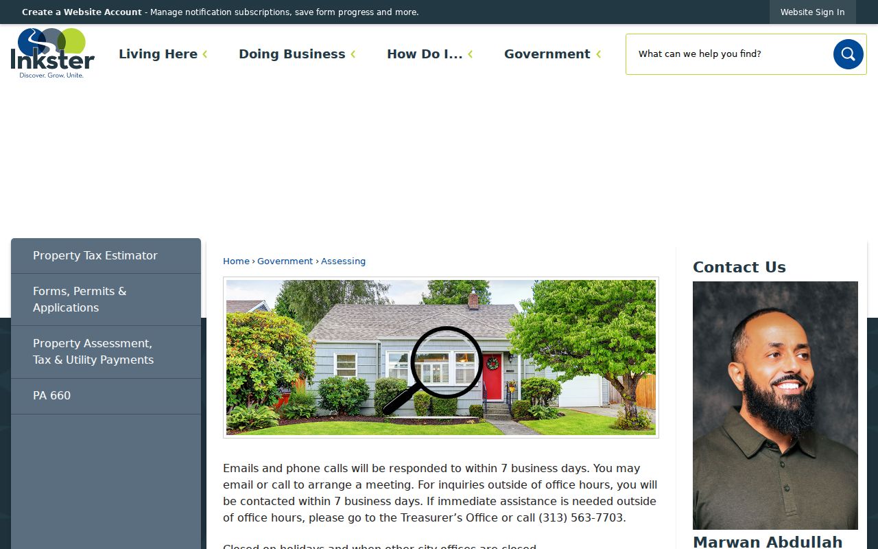
The screen establishes the official starting route, while the assessor’s current record is the place to verify the property keys before continuing to county systems.
| Field or control | Official status | Use in a street search |
|---|---|---|
| Enter an address | Displayed on the assessing page | Start with the physical street address. |
| Street Address | Displayed | Enter the postal street input. |
| Street Number to Street Number | Displayed advanced wording | Potentially narrow an address range; confirm live behavior. |
| Name | BSA service mode | Check the owner spelling after an address result. |
| Parcel Number | BSA service mode | Carry this stable key to GIS and deed work. |
City Assessing warns that online information may be inaccurate or not current. Save the search date with the record, especially where a recent transfer, split, or correction may change the display.
Inkster Street Parcels on GIS
The Wayne County Parcel Viewer is a map-reading tool, not a name roster. County guidance documents zoom, pan, parcel selection, and parcel, road, park, and boundary layers. On an Inkster street, zoom to parcel scale, select the subject polygon, write down the identifier, then inspect the street frontage and adjoining shapes. The research did not capture stable pop-up labels or a live Inkster sample card, so current dynamic labels should be read from the viewer itself.
Use a map selection to answer a limited question, such as whether two lots share a boundary or whether a corner address belongs to the same street segment. Then confirm an owner or instrument in the proper custodian’s record. A parcel outline does not identify every person connected to an address.
- Parcel
- A mapped unit of land used for tax and assessment administration. Its identifier bridges address, map, and land records.
- Situs address
- The physical location assigned to the parcel. It differs from an owner mailing address used for correspondence.
- Plat
- A recorded map that lays out lots, blocks, and streets in a subdivision. A plat name can help when a deed does not return by street number.
- Criss-cross directory
- A reverse directory arranged by street and number, usually listing a head of household for a dated volume.
Note: Wayne GIS supports parcel context, but its dynamic viewer fields require confirmation during each search.
Inkster Address Records
Several Inkster and Wayne County sources can be tied to an address, but they answer different questions. The assessor connects present property keys. GIS locates the lot. The Register of Deeds tracks recorded land instruments. The Treasurer reports delinquent tax information. Building and code material can be requested by a precise address and time span. The statewide voter system has strict public and protected-field boundaries, so it does not convert a street address into a public roll of everyone nearby.
| Address record | Custodian | What it can establish | Access route |
|---|---|---|---|
| Assessment card | Inkster Assessing / BSA | Property ownership, parcel, legal-description, value, and exemption context stated by the assessor | BSA search; live result fields vary |
| Parcel map | Wayne County GIS | Parcel shape, roads, adjacent parcels, and public layers | Public viewer; dynamic pop-up details vary |
| Recorded instrument | Wayne County Register of Deeds | Parties, recording date, instrument identifier, and legal-description trail | Free name search; expanded route or office for more access |
| Delinquent tax record | Wayne County Treasurer | Delinquent property-tax information by address or parcel | Free portal; not a complete tax roll |
| Permit or code file | Inkster Building, Planning, or Code Enforcement | Address-specific work, inspection, complaint, or disposition material when releasable | Targeted request; no public code-case index found |
Keep the parcel number, legal description, and record date beside every result. A street number can change its postal presentation over time, while a legal description may retain the better link to a recorded document.
Inkster Deed Search Routes
The Wayne ROD Public Search offers the current public-search entry point, while the county’s search-services page describes the free, paid, office, and mail routes. The free public route is chiefly a grantor or grantee name search. Address, legal-description, parcel or tax-ID, Liber/Page, document viewing, and images may require a paid account or an office route. That distinction matters when an Inkster street directory search begins with an address rather than a name.
The coverage language needs care. The current county search-services page says recorded documents and print copies go back to January 1, 1960. Other ROD language describes online searching after 1986. Those statements may reflect different index or image access, so neither should be converted into a single hard cutoff. For earlier work, use the office or mail route and provide a detailed property description. The Detroit office lists kiosk searching, and mail research is another documented channel.
The deed-chain method is simple but exacting: search the current owner as grantee, identify the acquisition instrument, read the seller as grantor, then search that seller as a prior grantee. Check the parcel and legal description at every step. A mortgage, release, lien, or correction is not necessarily a transfer of title.
Inkster Tax Address Search
Wayne County Treasurer Property Tax Administration can narrow a delinquent-tax search by street and municipality. The street number is optional, the street name needs at least three characters, and Inkster is available in the municipality filter. That makes the tool useful for finding delinquent-tax entries along a named street, but it is not a full owner list and cannot establish current residence.
The Treasurer search screen documents the address and parcel paths that can supplement an Inkster street directory check.
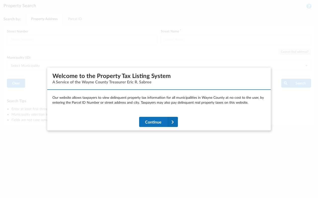
Use a tax result as one dated property signal, then compare it with assessor data and recorded instruments before drawing a conclusion about the parcel.
For a non-Detroit parcel search, the portal expects a 14 to 16 character ID without spaces or dashes. That input rule belongs to this tax portal only. It is not a universal format rule for all Inkster records.
Inkster Permit Record Requests
Inkster’s forms and permit pages identify building, electrical, fire, mechanical, plumbing, roof, sign, demolition, occupancy, property-maintenance, and planning routes. Completed records are not presented as one public street index. A targeted request should identify the street address, department, date range, and the fields needed, such as permit number, work description, inspection date, disposition, and releasable applicant or owner information.
Code Enforcement accepts address and date context, but no searchable public case index was located. For city-held records that are not online, use a sufficiently described Inkster Michigan FOIA request. Michigan FOIA permits a custodian to review records for exemptions and redactions. A focused request is more likely to return usable material than a request for all records about a street.
Inkster Historic Street Addresses
For a past address, the documented directory shelf is specific. The Dearborn Genealogical Society holdings list identifies Inkster Polk volumes for 1947, 1951, 1954, 1956, 1958, and 1960 at Henry Ford Centennial Library. It also identifies West Wayne Bresser runs for 1961 through 1977 and 1979 through 1996. Bresser is the useful reverse or criss-cross format because it begins with a street and house number, then names the head listed for that address.
A historical entry is a placement in that publication year, not current proof and not a full household list. Copy the street spelling, house number, abbreviation, title, year, and page before comparing the surname section or a second source. The deeper collection details belong in the Inkster city directories reference, while current address work stays with the assessor and parcel route.
Note: Gaps between the listed Polk and Bresser volumes are gaps in the evidence, not proof that an address was vacant.
Inkster Street and Ward Context
Postal and civic boundaries can help orient an Inkster address without replacing parcel records. Inkster’s primary postal designation is 48141, but postal lines are not city limits. The city’s six ward boundaries use major streets including Michigan Avenue, Cherry Hill, Annapolis, Avondale, Beech Daly, Eastern, Princess, Harrison, and Henry Ruff. The ward ordinance is the local reference for civic boundaries.
For exact deliverability, use the USPS ZIP Lookup with street, city, and state. An older record may use Moulin Rouge before the 1963 post-office renaming, Inkster afterward, or a predecessor township label before city incorporation in 1964. Search those place labels when a modern address produces no historical result. Jim Daly Road, now Beech Daly, is another documented name bridge.
Inkster Address Search Limits
An Inkster street directory can show a property owner, a tax correspondence address, a recorded party, or a dated directory entry. It cannot show every person at a property. A principal-residence exemption is a tax claim, not real-time proof that a named person is present. A voter lookup is not a public street browse, utility customer information is not a public resident index, and motor-vehicle address information has separate legal limits. An empty result is also not proof that no one is connected to an address.
When a street search becomes a question about one identified person, compare independent dated records and use the appropriate custodian. Do not turn a parcel list into a list of private people.